Abdul Wahab Khan
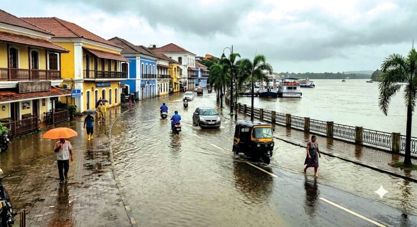
Panaji: Urban flooding in Panaji is likely to become more severe unless the city rethinks how it plans its drainage infrastructure, a new study has warned, adding that systems designed using historical rainfall data may no longer be adequate under changing climate conditions.
The peer-reviewed study found that September rainfall has increased significantly over the past five decades, while decadal analysis revealed annual average rainfall rising from 2,578.57 mm during 1984-1993 to 3,135.75 mm in 2014-2023. It also documented a growing frequency of extreme one-day rainfall events, particularly after 2000, with heavy rainfall increasingly extending into May and October instead of remaining confined to July and August.
According to the researchers, “the increasing occurrence of intense rainfall events outside the traditional monsoon peak may place additional stress on infrastructure that was not designed to accommodate such variability.”
Published in the Springer Nature’s journal Theoretical and Applied Climatology in June 2026, the research has said “infrastructure designed using outdated rainfall statistics may become progressively less effective in managing future urban flood risks”, urging planners to integrate climate-responsive design with nature-based solutions (NbS).
The study, ‘Integrating rainfall analysis and nature-based solutions for urban flood resilience in Panaji, Goa’, was conducted by Ras Bihari Mahato, Alisa Sahu and Dennies Daise Thomas of the Urban-Act Project, GIZ, New Delhi.
Using five decades of rainfall records (1974-2023), the researchers examined how climate variability, urbanisation and drainage limitations are combining to heighten flood risk in the state capital.
The results revealed that Panaji’s flood risk is being shaped by both climatic and human factors. The researchers observed that Patto, Mala and surrounding low-lying areas remain particularly vulnerable because of reduced natural storage, encroachment, inadequate drainage and expanding impervious surfaces.
They noted that rainfall redistribution within the monsoon season is becoming increasingly important, with September storms arriving when catchments are already saturated, thereby increasing the likelihood of prolonged waterlogging.
The researchers employed a comprehensive methodology combining field surveys, GIS mapping, digital elevation models, land-use data and daily rainfall observations from the India Meteorological Department.
Statistical analyses included the Mann-Kendall trend test and Sen’s slope estimator to detect long-term rainfall trends, while Intensity-Duration-Frequency (IDF) curves were developed using the Gumbel distribution. Peak runoff was estimated through the Rational Method, enabling the team to connect rainfall intensity with urban flood behaviour before proposing adaptation strategies.
The IDF analysis showed that short-duration rainfall events have become more intense across multiple return periods. The study said “the findings further indicate that rainfall behaviour in Panaji is not stationary over time,” while emphasising that conventional drainage design assumes rainfall statistics remain unchanged throughout an infrastructure’s service life. As a result, the team said that drainage standards and IDF curves must be updated periodically to reflect evolving climatic conditions.
To reduce flood risk, the study has recommended widespread adoption of nature-based solutions (NbS), including bioswales, rain gardens, permeable pavements, green roofs and detention systems. Unlike conventional “grey” infrastructure that rapidly channels stormwater away, NbS promote infiltration, groundwater recharge, evapotranspiration and temporary water storage while delivering environmental and social co-benefits.
The proposed framework prioritises flood-prone localities such as Patto and Mala for decentralised stormwater interventions before evaluating effectiveness through indicators such as runoff reduction, peak-flow attenuation, infiltration enhancement and temporary storage.
It also stresses stakeholder participation, cost-benefit analysis, biodiversity gains, recreational value and continuous monitoring so that flood management evolves alongside changing rainfall patterns.