Resolved avg of 238 congestion incidents per month over past 18 months
Amresh Parab
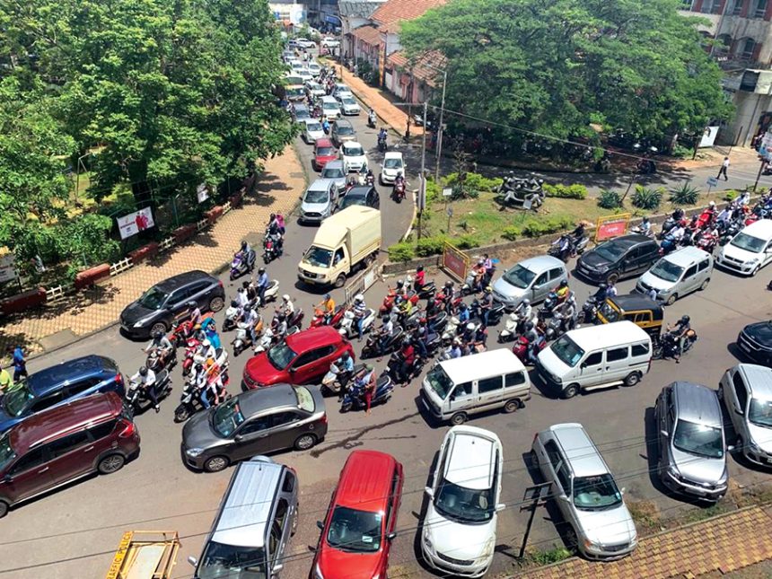
Panaji: Goa traffic police have identified and resolved an average of 238 traffic congestion incidents per month over the past 18 months using real-time monitoring through Google Maps.
During this period, police also acted on an average of 34 monthly incidents related to traffic violations flagged by social
media users.
The integration of digital tools such as Google Maps has aided traffic management, with police taking remedial measures in 4,289 congestion incidents from August 27, 2024
to February 2026. Police also took cognisance of 612 social media posts highlighting traffic violations and related issues.
Traffic Superintendent of Police Prabodh Shirwaiker said the department is making extensive use of Google Maps to remotely monitor traffic across multiple locations. He stated that social media is also being effectively used to communicate with the public regarding road diversions and blockages, while user posts provide crucial feedback.
“Traffic is regularly monitored on Google Maps at the Traffic Response and Congestion Control (TRACK) at the traffic headquarters in Altinho, Panaji,”
said Shirwaiker.
The TRACK system was inaugurated by Chief Minister Pramod Sawant on August 27, 2024 at the traffic headquarters in Altinho to monitor congestion and reduce response time. Shirwaiker stated that once congestion is detected, traffic cells and local police concerned are alerted immediately to take
remedial measures.
“Google Maps shows routes with colour-coded lines indicating traffic movement—green for no delays, orange for moderate traffic, and red for congestion. Once a red line is noticed, officials are informed immediately,” he said.