NT Reporter
Panaji
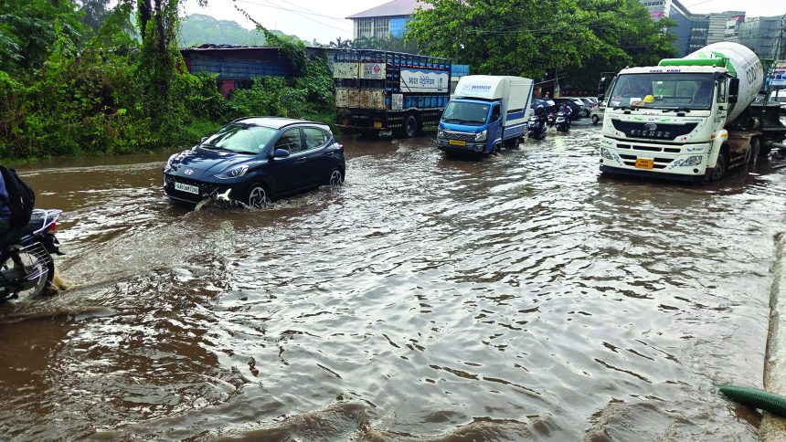
Heavy rain accompanied by thunderstorms, lightning and gusty winds
hit several parts of the state on Friday, with Canacona recording 101.6 mm of rainfall between 8.30 am and 5.30 pm.
The India Meteorological Department (IMD) has forecast isolated to scattered rain and thunderstorms to continue on Saturday.
Old Goa recorded 51 mm during the same period, followed by Dharbandora at 28.3 mm, Panaji at 22 mm, Sakhalim at 11.4 mm and Mopa at 8.6 mm.
Wind speeds stood at at 30-40 kmph.
The showers occurred amid changing post-monsoon weather conditions, with circulation systems over the Arabian Sea and the adjoining southern peninsula contributing to conditions favourable for thunderstorms.
The IMD’s weekly report described a series of weather systems, including a cyclonic circulation over the southeast Arabian Sea and Lakshadweep, a trough extending from the east-central Arabian Sea off Karnataka towards the Comorin area, and a well-marked low-pressure area over the southwest Arabian Sea that later moved towards Somalia. These systems influenced moisture flow and atmospheric instability.
Goa received an area-weighted average of 30.7 mm of rainfall between October 15 and 21, against a normal 31.9 mm, a deficit of 3.7%, according to the IMD’s Weather Weekly Report for the week ending October 21. North Goa received 23.9 mm, 18.7% below normal, while South Goa recorded 36.7 mm, 7.6% above normal.
Despite the recent showers, the state received 33.3 mm of rain between October 1 and 21, against a normal 129.1 mm, leaving a deficit of 74.2%.
The extended-range forecast issued on Thursday has projected normal rainfall for October 23-29, followed by large excess rainfall for the period October 30 to November 5. Maximum and minimum temperatures are expected to remain 0-2°C above normal in the first week, with maximum temperatures forecast to ease in the second week.